
contextily
Context geo-tiles in Python
BSD-3-CLAUSE License
Bot releases are visible (Hide)
Published by github-actions[bot] 8 months ago
What's Changed
- expand retryer to include image reading by @martinfleis in https://github.com/geopandas/contextily/pull/236
Full Changelog: https://github.com/geopandas/contextily/compare/v1.5.1...v1.5.2
Published by github-actions[bot] 8 months ago
Minor patch release aimed at fixing the documentation rendering.
Published by github-actions[bot] 10 months ago
What's Changed
- Fix inconsistency in import alias by @maxdswain in https://github.com/geopandas/contextily/pull/230
- Adds
zoom_adjusttoadd_basemapby @tristannew in https://github.com/geopandas/contextily/pull/228
New Contributors
- @maxdswain made their first contribution in https://github.com/geopandas/contextily/pull/230
- @tristannew made their first contribution in https://github.com/geopandas/contextily/pull/228
Full Changelog: https://github.com/geopandas/contextily/compare/v1.4.0...v1.5.0
Published by github-actions[bot] about 1 year ago
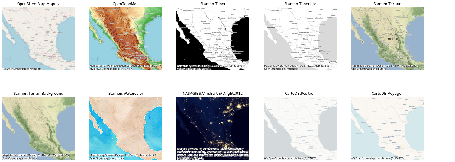
Contextily now uses OpenStreetMap Humanitarian as the default tiles due to Stamen moving under Stadia and requiring an API key.
What's Changed
- Fix bug in auto computation of zoom levels by @jelson in https://github.com/geopandas/contextily/pull/214
- Added support for parallel tile downloads and control of cache by @JacobJeppesen in https://github.com/geopandas/contextily/pull/217
- Bump actions/checkout from 3 to 4 by @dependabot in https://github.com/geopandas/contextily/pull/219
- Use OpenStreetMap.HOT as default tiles by @martinfleis in https://github.com/geopandas/contextily/pull/221
- MAINT: update infrastructure by @martinfleis in https://github.com/geopandas/contextily/pull/222
New Contributors
- @jelson made their first contribution in https://github.com/geopandas/contextily/pull/214
- @JacobJeppesen made their first contribution in https://github.com/geopandas/contextily/pull/217
Full Changelog: https://github.com/geopandas/contextily/compare/v1.3.0...v1.4.0
Published by darribas over 1 year ago
This is a minor release adding more flexible querying of tile services, to bring it on par and in line with the API in GeoDataFrame.explore (added in #208 , thanks @martinfleis!!!). In addition, a few updates and bug fixes are also included.
Published by darribas about 3 years ago
This is a minor release that does not add any new user functionality but switches the backend of tile providers from the original built-in one to that provided by XYZservices. In addition, the following changes and fixes are included:
- More documentation for the
PlaceAPI (#180, thanks to @chrstnbwnkl ) - Update docs website to render it fully functional (#175, thanks to @jorisvandenbossche )
- Update of tests to accommodate changes in Stament tiles
Published by darribas over 3 years ago
This is a release adds functionality for overlay tiles that have transparency (e.g. to add labels only) and includes a few bug fixes along the way.
New functionality:
- Map tile overlays (#114): see new section added to documentation for the feature. This feature was contributed by @jpn-- (thanks!)
Bug fixes:
- Documentation website bug fixed so side bar navigation is visible #168
Published by jorisvandenbossche about 4 years ago
Small bug fix release:
- Fix bug (and potential segfault) in the warping of tiles using rasterio (#159, #160, #163, #165).
- Fix bug in resetting the extent when warping local tiles (#155, #156) .
- Improved documentation, see https://contextily.readthedocs.io/en/latest/
Published by jorisvandenbossche over 4 years ago
This is the 1.0 release, bringing a stable API to the library and a first set of basic functionality available to end users.
Besides all the changes introduced initially in the previous two release candidates (rc1 and rc2), the following features have been added:
- Support for memory-efficient, window-based reading from local files (#86).
- The
urlkeyword is deprecated in favor ofsource(#90, #125). - The
zoomlevel is now validated if the minimum and maximum zoom of the provider is known (#108). - Optionally set cache directory to a permanent directory with
set_cache_dir(#106).
The project has also graduated from an individual account (darribas) to an organisational one, kindly hosted by the geopandas project:
This is to better reflect the broader community involved in the development of the project, as well as to increase its visibility. Issues and Pull Requests should be directed at contextily's new home.
Documentation
A new documentation site has been created and made available at:
Installation
You can install contextily through pip:
pip install contextily
Or conda:
conda install -c conda-forge contextily
Contributors
A full list of contributors to the project is available here.
Published by darribas about 5 years ago
This release brings a lot of new functionality in preparation for 1.0 that we want to make available before fully releasing. This includes:
- In-session local caching with
joblib(#85,#53) - New
providersinfrastructure (#91,#66) - Tile warping so maps can be expressed in CRSs other than Web Mercator (
#49)
And other minor additions:
- [API BREAK]
add_basemapnow returnsNoneinstead of theaxpassed (#92) - Dropping
cartopyas dependency (#50) - Use of standard tile URLs (
#73) - Attribution text wrapping (
#94,#95,#96) and optional font size (#76) - Move codebase to black style (
#87)
Install through pip:
pip install contextily==1.0rc2
Or conda:
conda install -c conda-forge contextily==1.0rc2
Published by darribas almost 7 years ago
This release includes the following changes and improvements:
- Map search and Places API provided by @choldgraf
- Refactoring of code to incorporate Places API
- Fix of a bug that precluded
rasterio/numpyto work properly with an updated version of the library - Drop of support for Python 3.4
The release is available to install on pip:
pip install -U contextily
And on conda, using the conda-forge channel (thanks to @ocefpaf!):
conda install -c conda-forge contextily
Published by darribas about 8 years ago
This is the initial release of contextily. Basic functionality includes:
- Download and integrate tile maps on-the-fly with
bounds2img. - Download and save tile maps into raster files (
GeoTIFF) withbounds2raster. - Check for the required number of tiles with
howmany. - Support for all of Stamen's tiles.
Installation
Make sure the dependencies are installed and then run:
pip install contextily